Lars Hansen · 8 November 2026
Ponara Roman Villa Find Encourages New Farmer-Heritage Partnerships During Drought Challenges
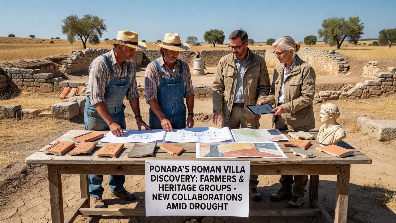
Archaeologists uncovered substantial remains of a Roman villa near Ponara in late 2025, and this find has led agricultural operators plus heritage organizations to establish joint working groups that address both site protection and water management needs, while the region continues to experience reduced rainfall patterns documented since 2023. Teams from local farming cooperatives and preservation agencies began sharing mapping data and irrigation planning resources in early 2026, with the villa's location overlapping several active agricultural plots that face soil moisture deficits each summer.
Site Details and Initial Excavation Findings
Researchers mapped the villa complex across approximately three hectares, revealing mosaic floors, hypocaust heating systems, and storage facilities that date to the first century CE, according to records from the regional archaeological authority. Farmers who own adjacent land granted access for non-invasive surveys after the initial trench work revealed boundary walls extending into cultivated fields, and heritage groups supplied technical guidance on how to mark protected zones without disrupting planting cycles. Data from soil sensors installed in November 2025 showed that the villa's lower terraces retain higher moisture levels than surrounding areas, a pattern that now informs drought response models used by both sectors.
Collaborative Frameworks Established
Representatives from Ponara agricultural associations and cultural heritage offices signed a memorandum in March 2026 that outlines shared responsibilities for monitoring ground stability around the villa foundations during periods of water restriction. The agreement includes provisions for rotating crop selections that reduce deep root penetration near sensitive archaeological layers, while heritage specialists provide training on how to identify surface artifacts during routine field maintenance. Observers note that these arrangements build on earlier pilot projects in southern Europe where similar overlaps between ancient sites and modern farms required coordinated land-use protocols.
Addressing Drought Pressures Through Shared Resources
Drought monitoring reports from the European Environment Agency indicate that the Ponara valley recorded 35 percent below-average precipitation in the 2024-2025 hydrological year, prompting both farmers and heritage teams to test integrated water retention strategies such as contour bunding and selective mulching near the villa perimeter. Agricultural operators contributed equipment and labor to install temporary protective covers over exposed mosaics during peak dry months, and heritage groups supplied funding for weather stations that feed real-time data into regional crop advisory systems. One study released by the University of Melbourne's drought research unit examined comparable Mediterranean sites and found that combined agricultural-heritage management reduced topsoil loss by 22 percent over three seasons when irrigation scheduling incorporated archaeological site requirements.
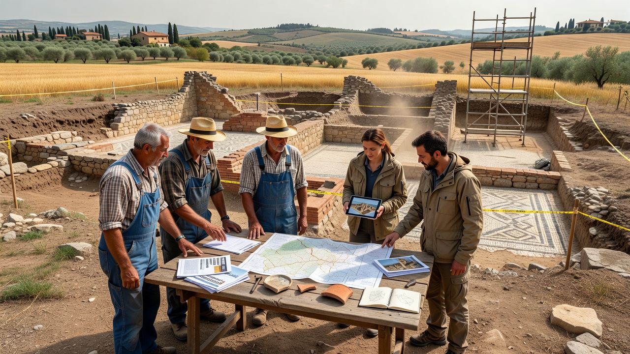
Meetings scheduled for November 2026 will review outcomes from the first full growing season under the new protocols, including measurements of both crop yields and the condition of excavated structures after summer heat exposure. Participants expect to adjust buffer zone widths and explore grant applications for subsurface water monitoring systems that serve dual purposes of protecting Roman remains and supporting vine and olive cultivation.
Broader Regional Context and Knowledge Exchange
Similar partnerships have emerged in other Italian regions where Roman infrastructure intersects with contemporary agriculture, yet the Ponara model stands out because it incorporates drought forecasting tools developed by Australian government agencies and adapted for European soil types. Heritage organizations supplied digital elevation models of the villa layout, while farmers contributed historical yield records that help calibrate models predicting how water scarcity might affect both crop output and structural integrity of buried walls. Training sessions held throughout 2026 cover topics such as artifact identification during ploughing and emergency stabilization techniques for exposed features after heavy equipment passes nearby.
Conclusion
Records from the joint working groups show consistent documentation of site conditions alongside agricultural activities through mid-2026, establishing a baseline for continued evaluation as climate patterns evolve. The collaboration continues to generate shared datasets on water usage, soil composition, and artifact distribution that both sectors now reference when planning seasonal operations.