Jonas Schwarz · 22 November 2026
Ponara Valley Farmers Team Up with Historians to Revive Ancient Irrigation Methods After Harvest Shortfalls
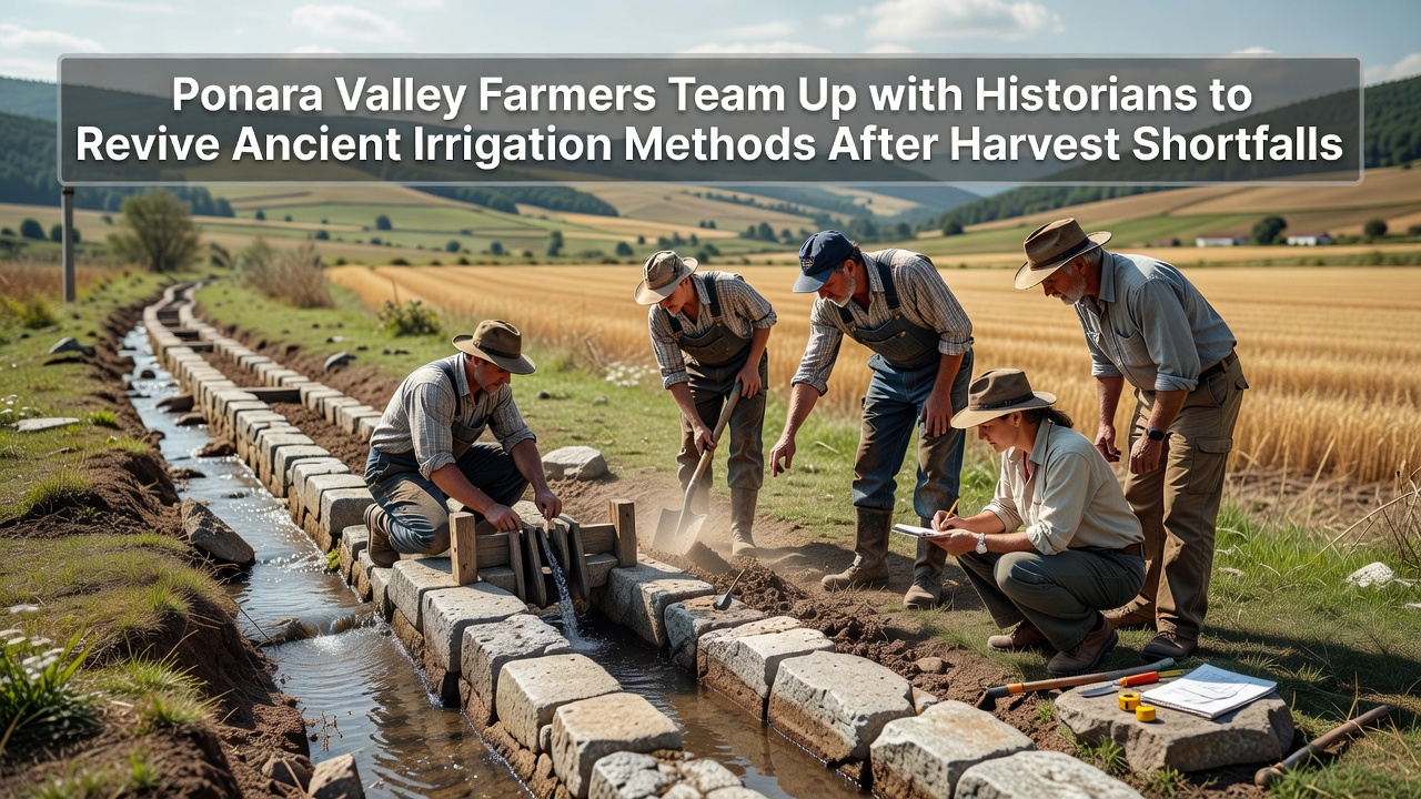
Harvest shortfalls across Ponara Valley prompted local farmers to contact historians who specialize in Roman-era water systems, and the groups began mapping surviving aqueduct remnants along with terrace channels that once distributed water through the same fields now showing reduced yields. Data collected since 2024 shows average crop output down by 18 percent in key grains and vegetables according to regional agricultural reports, which pushed the collaboration into active testing phases by November 2026. Researchers documented how ancient channels captured seasonal runoff and directed it through gravity-fed stone conduits that minimized evaporation while reaching multiple plots in sequence, and modern teams started clearing silt from several of these structures to measure flow rates against current canal networks.
Harvest Data and Initial Assessments
Figures released by valley cooperatives indicate that three consecutive dry seasons reduced soil moisture retention by nearly one-third in lower elevations, yet farmers noticed that certain hillside terraces retained higher productivity where older stone alignments still existed beneath surface soil. Historians cross-referenced excavation notes from prior decades with satellite imagery to locate segments of the original network, and field surveys confirmed that several channels remained structurally sound despite partial blockages. Those alignments, built during the first century, used stepped gradients and settling basins that filtered debris before water reached planting areas, and crews began replicating the same basin designs using local limestone to test whether similar filtration could improve water clarity in contemporary systems.
Ancient Techniques Under Review
Historians identified three primary methods that once sustained the valley through variable rainfall patterns: contour-following ditches that slowed runoff, interconnected cisterns that stored winter precipitation for summer release, and terraced distribution lines that alternated between main arteries and smaller feeder channels. Modern engineers measured the original gradients at roughly one percent slope over long distances, which allowed steady delivery without pumps, and they compared these ratios against present-day irrigation pumps that consume higher energy during peak demand. Farmers in the northern section of the valley agreed to pilot a restored cistern paired with a cleared feeder line, and preliminary readings taken in late October 2026 showed a 12 percent increase in delivered volume compared with the previous mechanical setup over the same period.
Partnership Structure and Field Trials
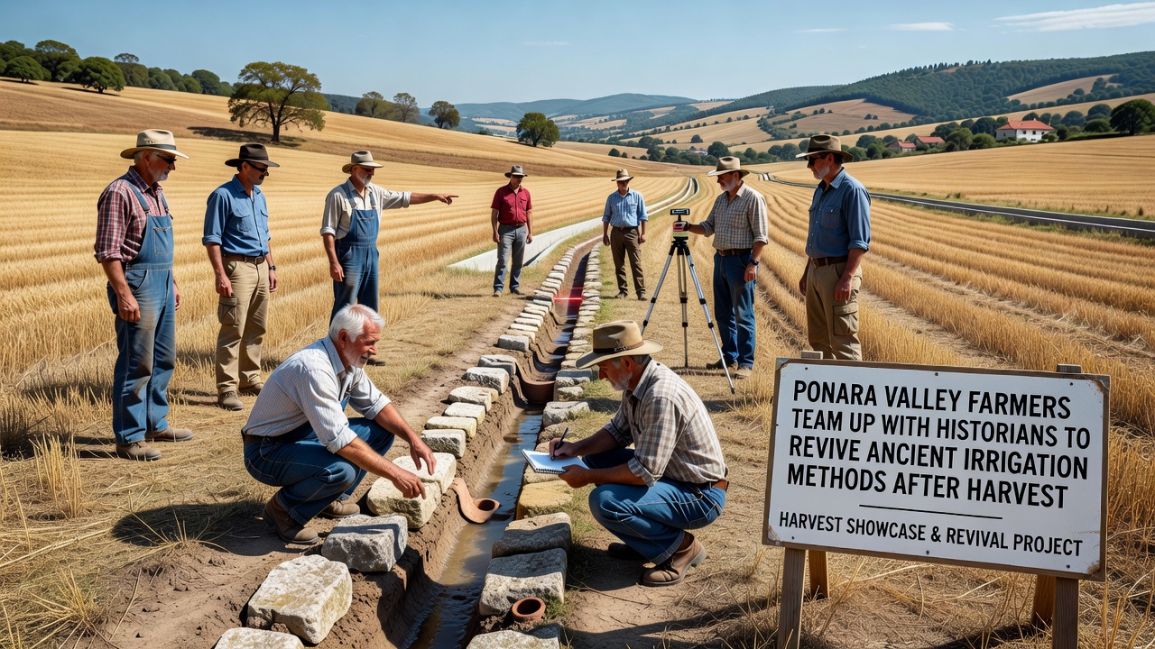
The joint effort operates through monthly coordination meetings where farmers supply equipment and labor while historians provide archival maps and material specifications, and an independent water management consultant records daily flow data to track efficiency gains. One trial segment now routes water through a restored settling basin before it reaches vegetable rows, and early observations note fewer sediment deposits at the field intakes compared with the older open ditches that required frequent dredging. According to reports from the Food and Agriculture Organization of the United Nations, similar gravity-based systems have shown resilience in Mediterranean climates when maintained with traditional materials, and local teams referenced those findings when selecting compatible stone and mortar mixes. Another reference point comes from Australian agricultural water studies that documented reduced evaporation losses when channels incorporate periodic settling zones, and the Ponara groups adapted the same spacing intervals for their current restoration work.
November 2026 Milestones
By November 2026 the first restored segment reached operational status, allowing water to travel from the upper catchment directly into three previously under-irrigated plots without additional pumping. Soil moisture probes installed along the route recorded steadier readings throughout the week following each release, and farmers noted that young olive trees in the test area maintained leaf turgor longer between deliveries. Historians continued documenting tool marks on the original stonework to guide replication of surface textures that reduce algae growth, and these details proved useful when crews prepared the next section scheduled for clearing in December. Regional records show that comparable partnerships in other valleys have produced measurable yield rebounds within two growing cycles once water delivery stabilized, and the current project tracks comparable indicators through standardized harvest logs.
Conclusion
The ongoing work in Ponara Valley demonstrates how combining archival research with practical field adjustments can address water distribution challenges that emerged after repeated shortfalls, and the teams continue expanding the restored network while collecting performance data. Further segments will incorporate the same settling basin and gradient principles, with results scheduled for review at the end of the 2027 season to determine scalability across additional plots.