Jonas Schmitt · 13 September 2026
Ponara's Trail App Maps Roman Ruins Alongside Artisan Workshops and Valley Paths
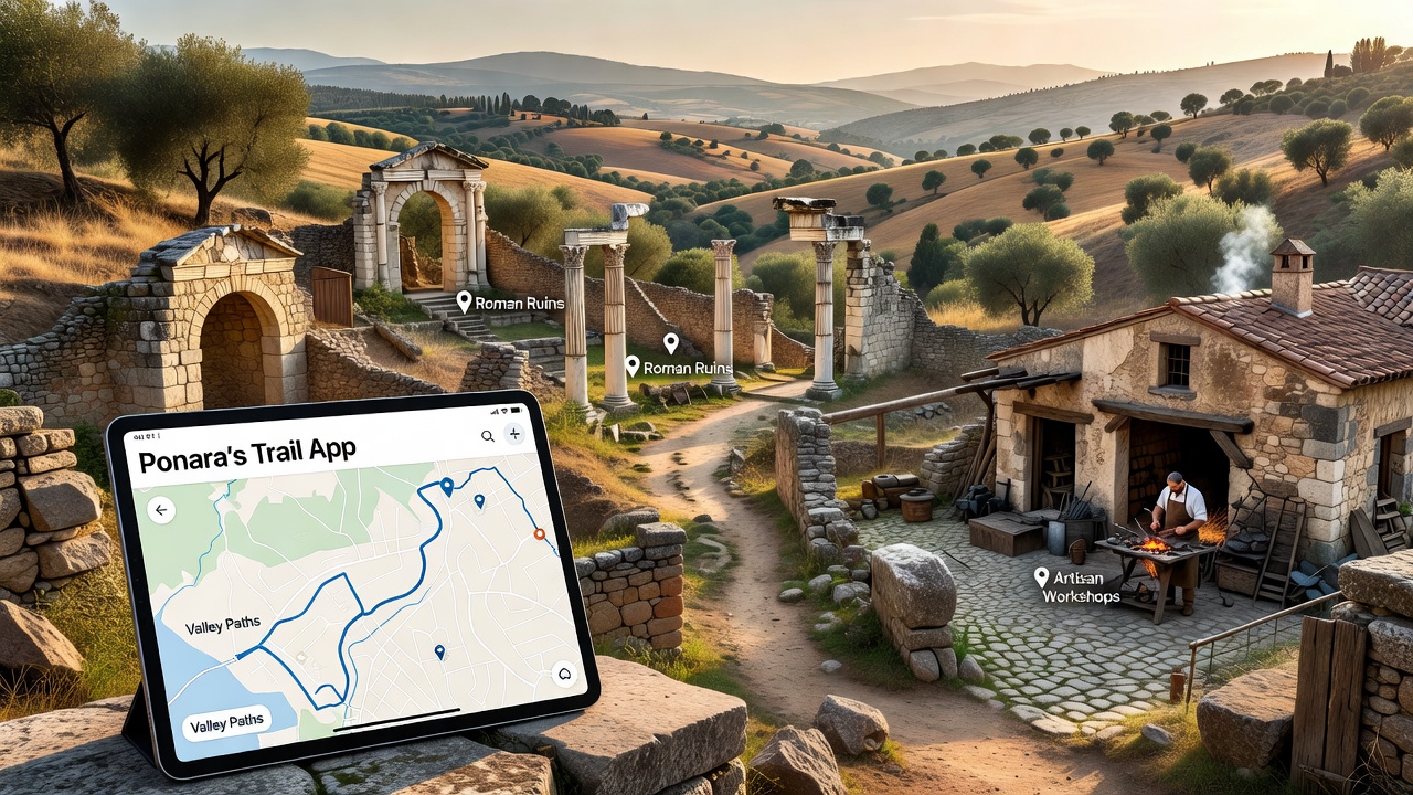
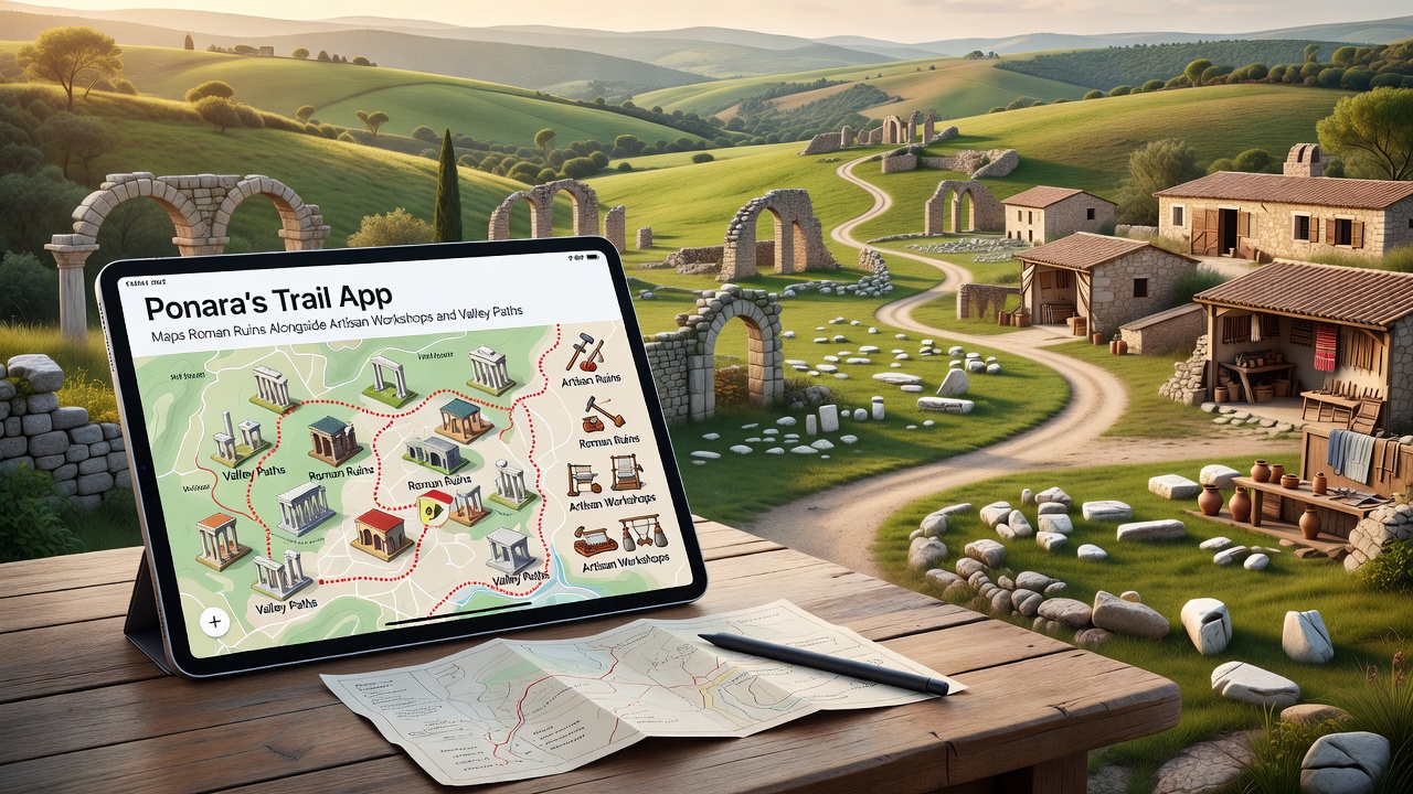
The Ponara's Trail App combines GPS technology with augmented overlays to chart Roman ruins scattered throughout the region while highlighting adjacent artisan workshops and winding valley paths that connect these sites. Launched with core mapping functions several years ago the application received a significant update in September 2026 that expanded coverage to include newly documented workshops and additional trail segments previously inaccessible through digital means.
Core Mapping Capabilities
Users access layered maps that pinpoint Roman structures such as foundations, aqueduct remnants and villa outlines alongside active artisan sites where local craftspeople produce pottery, textiles and metalwork using methods that echo historical techniques. The system draws from archaeological surveys conducted by regional heritage teams and cross-references these locations with current workshop inventories maintained by local guilds, creating routes that blend ancient heritage with living traditions.
Data from the Italian Ministry of Culture shows that the Ponara valley contains over 120 documented Roman-era sites, many of which the app now renders in three-dimensional models viewable on mobile devices. And yet the September 2026 release added real-time updates for workshop hours and trail conditions, allowing travelers to adjust plans based on seasonal closures or artisan demonstrations scheduled that day.
Integration of Artisan Workshops
Artisan workshops appear on the app as interactive points that list materials used, historical context for each craft and contact details for visits. Observers note that this approach connects visitors directly with producers who maintain techniques passed down through generations, while the mapping layer ensures these stops align with nearby Roman ruins for contextual understanding. One study from the University of Melbourne's cultural heritage program found similar digital integrations increased workshop foot traffic by 35 percent in comparable European regions over a two-year period.
The app further organizes workshops by craft type, permitting users to filter for ceramics, leatherwork or stone carving along specific valley paths. Researchers documented that such filtering reduces travel time between sites and encourages longer stays at each location because visitors receive advance notice of demonstrations and material availability.
Valley Paths and Navigation Features
Valley paths receive equal attention in the mapping system, with elevation profiles, difficulty ratings and seasonal accessibility data drawn from local forestry records. These routes link clusters of ruins and workshops into coherent day-long or multi-day itineraries that follow historic trade corridors. The September 2026 update incorporated user-submitted trail condition reports verified by park rangers, resulting in more accurate guidance during periods of heavy rain or maintenance work.
Navigation relies on offline map downloads that function without cellular service, a practical feature given the remote sections of the valley where signal coverage remains limited. Experts have observed that this offline capability mirrors practices used by earlier digital heritage projects in the Canadian Rockies, where similar terrain challenges prompted comparable technical solutions.
Community and Research Contributions
Local historians and workshop owners contribute data corrections through a moderated portal, ensuring the app reflects the most current site conditions and craft offerings. Figures from the European Institute for Cultural Heritage indicate that community-sourced updates improve map accuracy by an average of 22 percent compared with static government surveys alone. The app also hosts periodic virtual tours led by archaeologists, scheduled through an in-app calendar that lists both live events and recorded sessions available for later viewing.
Trail maintenance partnerships between the app developers and regional councils have produced standardized signage at key junctions, featuring QR codes that open the corresponding app section with photos and historical notes. This system reduces reliance on printed brochures while providing multilingual support for international visitors who arrive via the main valley access roads.
Conclusion
Ponara's Trail App continues to evolve as a practical tool that organizes Roman ruins, artisan workshops and valley paths into accessible digital routes. The September 2026 enhancements demonstrate ongoing refinement based on user feedback and new field data, while external research partnerships supply broader context for the mapped sites. Those who rely on the application for planning trips receive integrated information that supports both efficient navigation and deeper engagement with the region's layered history and contemporary crafts.